Bayou Fountain… Street?… View
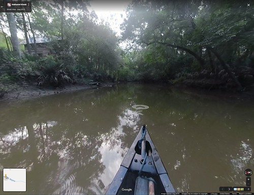
Ever since we started working to turn Bayou Fountain into a paddle trail, one thought we’ve always had was that it’d be really great to get the bayou added to Google Maps’ “Street View”. Well, guess what we just did…
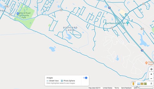
Nathaniel is now the proud owner of a GoPro Fusion 360° camera, and after decking it out with some bits and bobs to mount, power, and cool it, he recently took a Sunday paddle down Bayou Fountain. After a few days of processing the video (and several more for Google to finish on that end), we’re happy to announce that you can now see the entire Bayou Fountain paddle trail, from Siegen/Burbank all the way to Bayou Manchac, in Google Maps Street View!
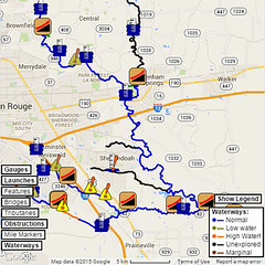
So, that’s one down, quite a few to go. It’s going to take some time to get all the paddling and processing done, but we’re planning to add Bayou Manchac, Ward Creek, the Comite River (at least from BREC’s Blackwater Conservation Area to the Amite), the Amite River (from Frenchtown Road Conservation Area to Fred’s), and probably Claycut Bayou and Jones Creek. (More suggestions welcome, of course.)


So Cool!!! Thanks for all your hard work.